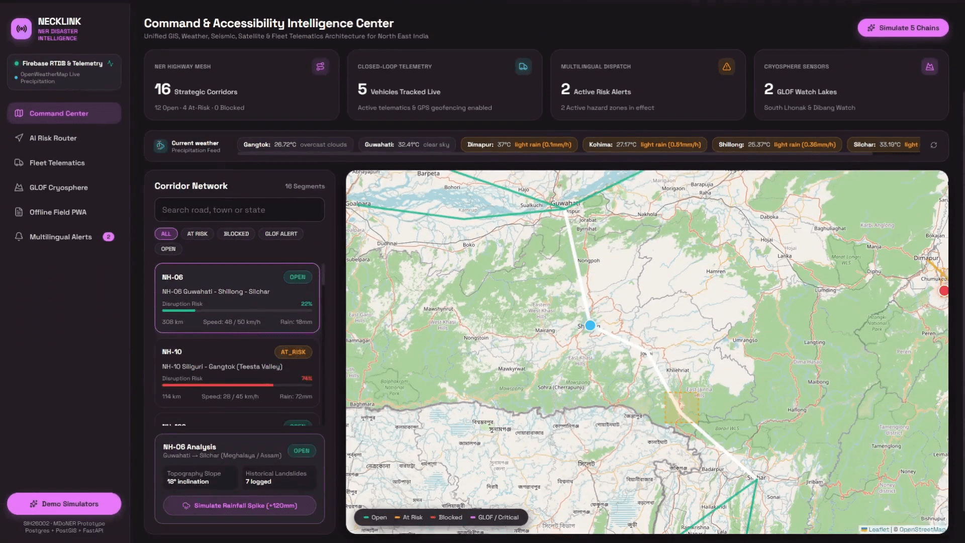
Worked on a connected logistics-intelligence prototype spanning a map dashboard, dispatch API, and Python risk and routing service.
The approach
Score disruption risk with a Random Forest trained on synthetic terrain and weather examples.
Compare distance-based and risk-weighted routes using a NetworkX corridor graph.
Connect geofencing, simulated hazard scenarios, and an IndexedDB field-report queue with backend synchronization.
Scope & perspective
The project demonstrates how signals can flow into operational decisions. Synthetic training and hazard scenarios do not establish real-world forecasting or emergency-warning accuracy.